"Oregon County: Wild and Scenic"

Below are snippets that local author Cygnet Brown selected from her upcoming book "Oregon County: Wild and Scenic", which will be available for purchase in Alton over Eclipse Weekend.
Eleven Point River
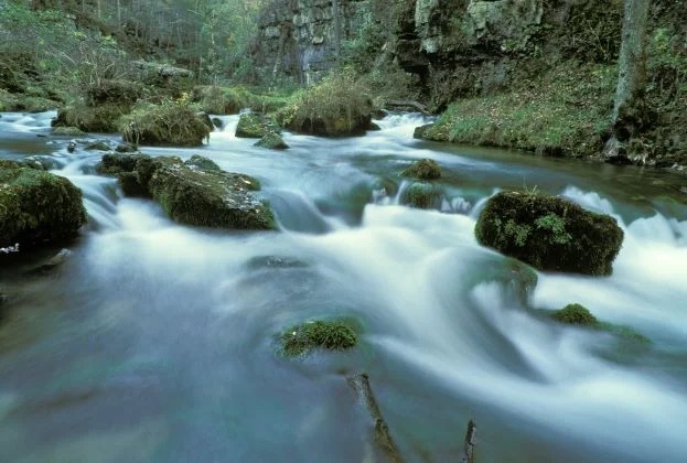
The Eleven Point River is one of Oregon County’s finest and best-known features. The scenery along the Eleven Point River is exemplary within the region of comparison. It is one of only eight wild and scenic riverways in the United States. The Wild and Scenic part of the Eleven Point River is exclusively located in Oregon County, Missouri.
Cane Bluff River Access
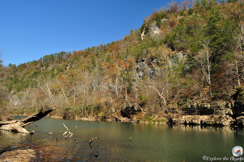
Cane Bluff River Access of the Eleven Point River was the location of a crossing that was part of an old pioneer trail that led from Pocahontas to Thomasville. This upper section of the river is small and is comfortably floated in the spring season. Cane Bluff Access is an unimproved access with a toilet, along a scenic stretch of river with towering rock bluffs.
Cane Bluff Access has a concrete boat ramp, picnic tables, and restrooms along a scenic stretch of river with towering rock bluffs. The gravel access road off Highway 19 is rough in places and has a low water bridge across a shallow spring branch.
Greer Recreation Area
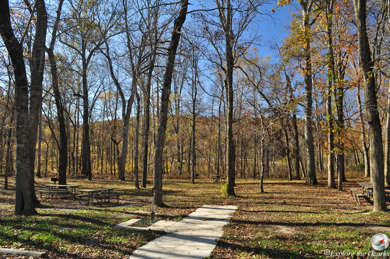
This campground is primarily used by people using the river. It’s a nice flat, level area immediately adjacent to the highway. This campground is a hub that puts you near Greer Mill, Greer Spring. This campground is primarily used by people using the river. It’s a nice flat, level area immediately adjacent to the highway.
Greer Recreation Area can be reached by driving from Winona, Missouri by taking Highway 19 south to the Eleven Point River. It can also be reached from Alton by driving North on Missouri Highway 19 to the Eleven Point River.
You exit the highway to the campground to the left with campsites located off a road that circles through the campground. If you stay straight you will get to the boat launch and day-use area.
There is one trail available for hikers, a 4-mile trail that follows the river and through typical Ozark hills up to McCormack Lake then circles back for a 2-mile walk back to Greer. This trail runs along the river and then back along the hillside above the river.
Rainbow trout, small-mouth bass, and sunfish are among the fishing opportunities at this location.
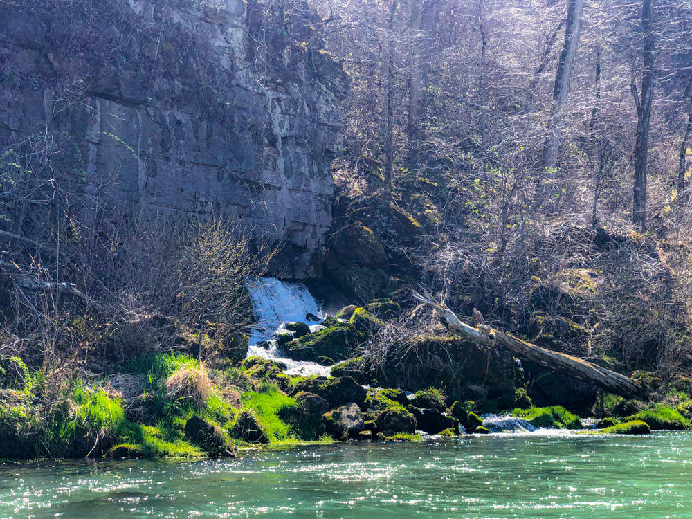
Greer Spring
The entrance to the trail to Greer Spring is about half a mile south of the Greer Recreation Area. When you pull into the parking lot it's easy to find the trailhead which starts you on the downhill, 0.9-mile hike to Greer Spring. Don't forget to stop at the restroom before you head down the hill. Even though it's a short hike, bring plenty of water to drink, especially in the summer months.
Greer Spring is the second largest spring in Missouri.
Turner's Mill River Accesses
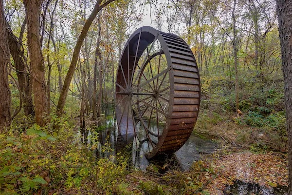
Located on the edge of the Irish Wilderness area near Alton, Missouri, Turner Spring has a 1.5-million-gallon average daily flow. The spring flows from a high rocky bluff. The remains of the mill wheel are located on the north side of the Eleven Point River adjacent to Turner's Spring. The north side can be accessed from Missouri Highway 19. The south side of Turner's Mill offers limited dispersed campsites, a limited day-use area, a single-lane concrete boat launch, and toilet facilities. The South Turner's Mill Access Road is just off Missouri Highway AA.